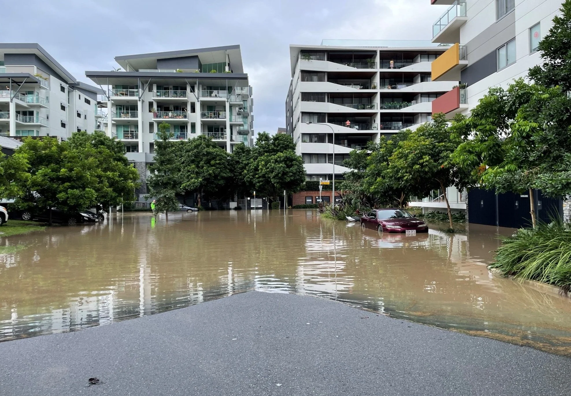
Resilient Kurilpa News—May 2024
Announcing the first of our 2024 events!
This month we’ve been developing a rich program of events to deliver this year, that will strengthen the preparedness of our community for future floods.
We know that renters make up the vast majority of people in Kurilpa and that 80% of our dwellings are apartments. So our May and June events will focus on supporting renters and our apartment communities.
Read more about our events here.
These events are jointly funded by the Australian and Queensland governments under the Disaster Recovery Funding Arrangements.
Monday 20 May
The 4101 on Floods for Renters
This free webinar workshop will be run with flood recovery solicitors, Emma Webster and Abigail Pfidze, from Tenants Queensland. We’ll cover:
what it's like renting on the Kurilpa floodplain
common scenarios tenants may encounter after a flood event
actions to take now to prepare
Q&A with Tenants Queensland
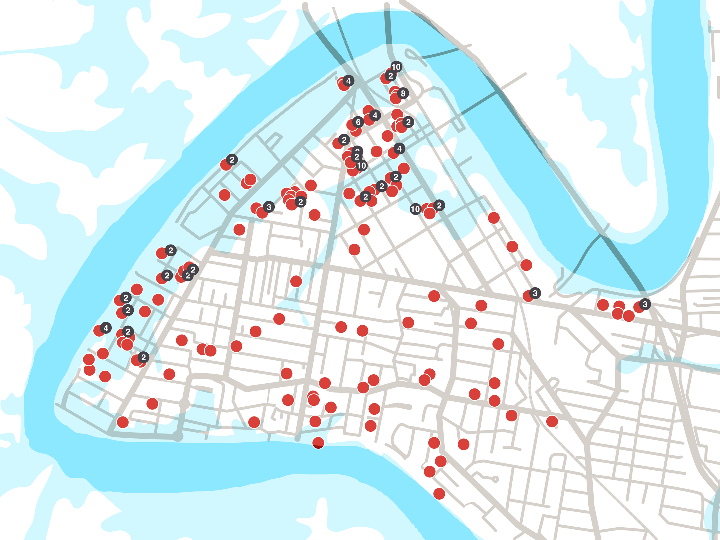
Image: MAP OF 1% AEP flood level with available rental properties in 4101, May 2024.
Thursday 13 June
Step-by-step Flood Planning for Apartment Buildings
Part 1 of 2 apartment flood planning webinars. This information forum will walk through steps to preparing your apartment building for future floods. We’ll cover:
why we need to plan for floods
the importance of knowing your building and its vulnerabilities before implementing mitigation measures
key tools and procedures being adopted and adapted by body corporates in Kurilpa to mitigate flood impacts on their building.
Thursday 27 June
Step-by-step Flood Planning for Apartment Residents
Part 2 of 2 apartment flood planning webinars. This information forum will walk through steps to preparing your apartment residents. We’ll cover:
why we need to prepare apartment communities for floods
the importance of knowing your residents and their support needs
key tools and procedures to ensure residents are safe, informed and prepared to respond and recover from future floods
New Local Insights Blog Posts
Caring for Family During and After a Flood
Local writer and parent Rose Lane gives us tips for what to do (and what not to do) when it comes to helping children cope with flood disasters.
While it’s tempting to park the kids with trusted others so that we can get on with clean up, leading expert in disaster recovery Michelle Roberts advises, where possible, to keep the family unit together.
The key for families dealing with a disaster before, during and after, Michelle advises, is to talk. Involve the whole family in planning before an event so everyone knows what to expect and what they need to do.
Image: Orleigh Street, West End, 1974.
The Origins of Orleigh Park
With its huge spreading shade trees and pleasant breezy riverside location, Orleigh Park is understandably a great favourite with many residents and visitors. However, this beautiful park had its origins in the destructive 1983 floods.
Whilst the rebuilding of houses in Hill End took place, it seems that few, if any, were rebuilt on riverside blocks.
From 1894, there are newspaper reports of cricket matches and football games being held at Orleigh Estate on the vacant land…
The idea for the creation of a river-side park originated with the Hill End Progress Association that presented the South Brisbane Town Council with a petition in 1914, signed by 292 local residents.
Local historian Paul Granville has lived in Highgate Hill for over 35 years and shared two of his articles from his thoroughly researched blog, Highgate Hill and Its History. These stories hold particularly important historical lessons that can deepen our relationship with this place and the river.
Image: View of Orleigh Estate after the 1893 flood in West End, Brisbane, Queensland.
Kurilpa – Water, Water, Everywhere
Have you ever wondered what it means to live on a floodplain? Why do certain streets, hundreds of metres inland from the river, repeatedly flood?
Local historian Paul Granville’s has lived in Highgate Hill for over 35 years. His research maps the tapestry of watercourses, swamps and creeks upon which we dwell. As well as the history of trying to tame and drain them over the past 100 plus years.
A long waterhole located between the river and Montague Road was known as “Kurilpa Swamp” and alternatively as “Coombe’s Swamp” in early days. Reeds from here were said to have been used to thatch the roof of South Brisbane’s first shop…
Walking along the riverside park today, some 14 storm water drains can be seen along this 1,300m section of the river, reflecting the amount of work that has been required over the years.
Image: Paul Granville's map of Kurilpa creeks and swamps as they appeared on maps 1844–1865.


